On our last day in Katherine I bought a map of Australia. Although we have plenty of maps across many pages of an atlas, all very detailed, but nothing to highlight what a big country Australia is.
At the time of writing this post we are actually in Mataranka 110km south of Katherine which itself is 310 km south of Darwin. Looking at the Aussie map we have a long way to go to Tennant Creek before we venture east along the Barkly highway toward Mt Isa. (The Barkly is actually north of Tennant, but we’ve come this far why not see what the Creek is like).
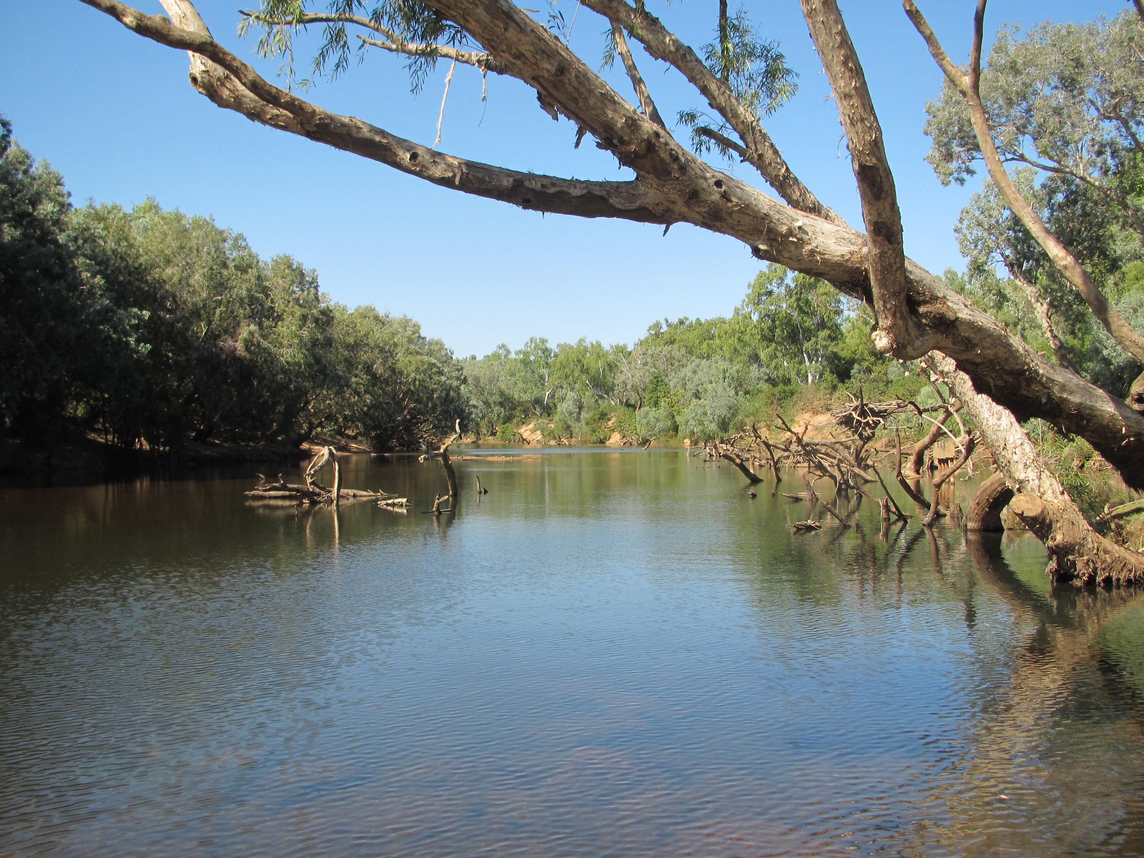
Last Thursday we departed Darwin for 4 nights in Katherine with its gorges, hot springs, river and Katherine Country Club. The museum was closed and Springvale Homestead has been closed for 2 years; but the Katherine river was flowing over at Knott’s crossing and Edith Falls was flowing into a giant popular swimming hole with its beautiful shady picnic areas on the banks.
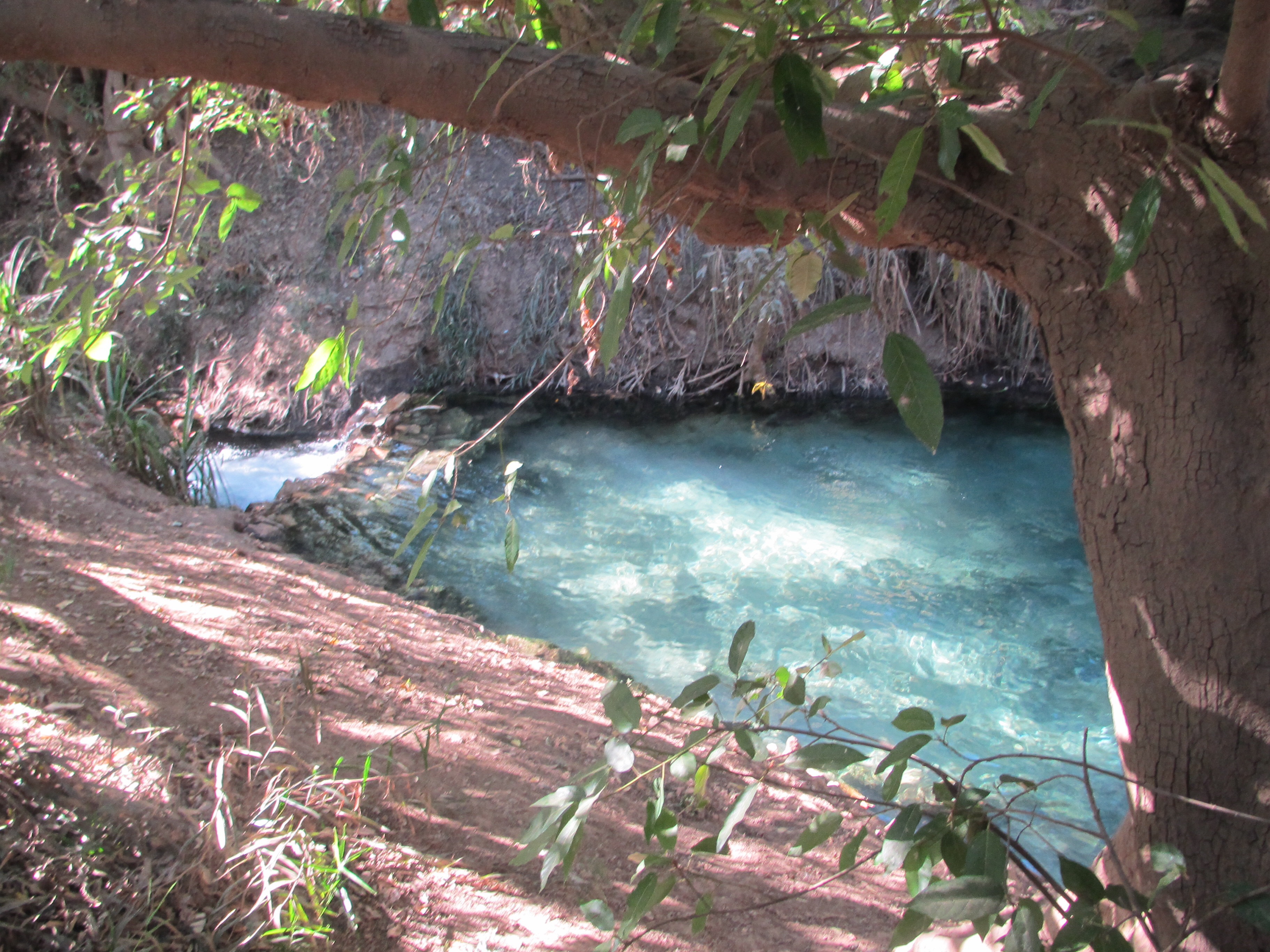
At the hot springs I got talking to Christine, an Aboriginal woman who told me of the dream time rainbow serpent that burrowed into the ground and re-appeared at the Rainbow Springs at Mataranka. Mythology with a touch of magic, for the 2 are linked by a limestone underground watercourse stretching over 100km.
Arthur Giles first settled in this area (1878) at Springvale, commencing the cattle trade so evident in this region with the enormous volume of cattle road trains that rattle past the enormous volume of nomad caravans in the top end. It should also be noted that the cattlemen have not erected any monuments to a certain female PM who introduced taurus interruptis.