Fantasy Freeway and the Farmers’ Folornness

The Matilda Highway from Cloncurry to Winton

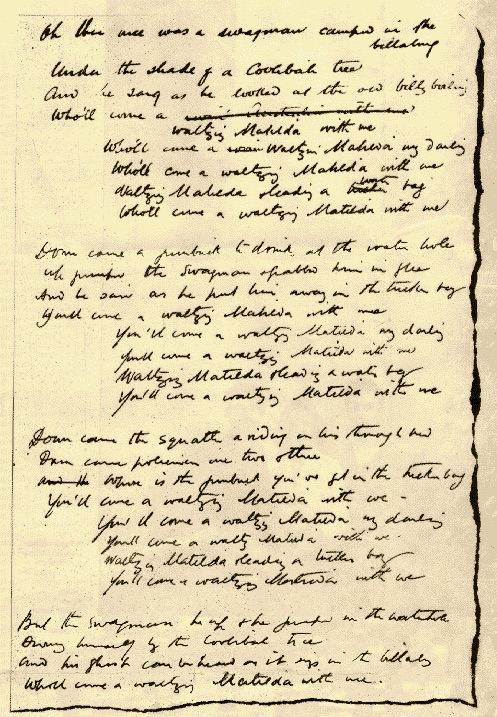
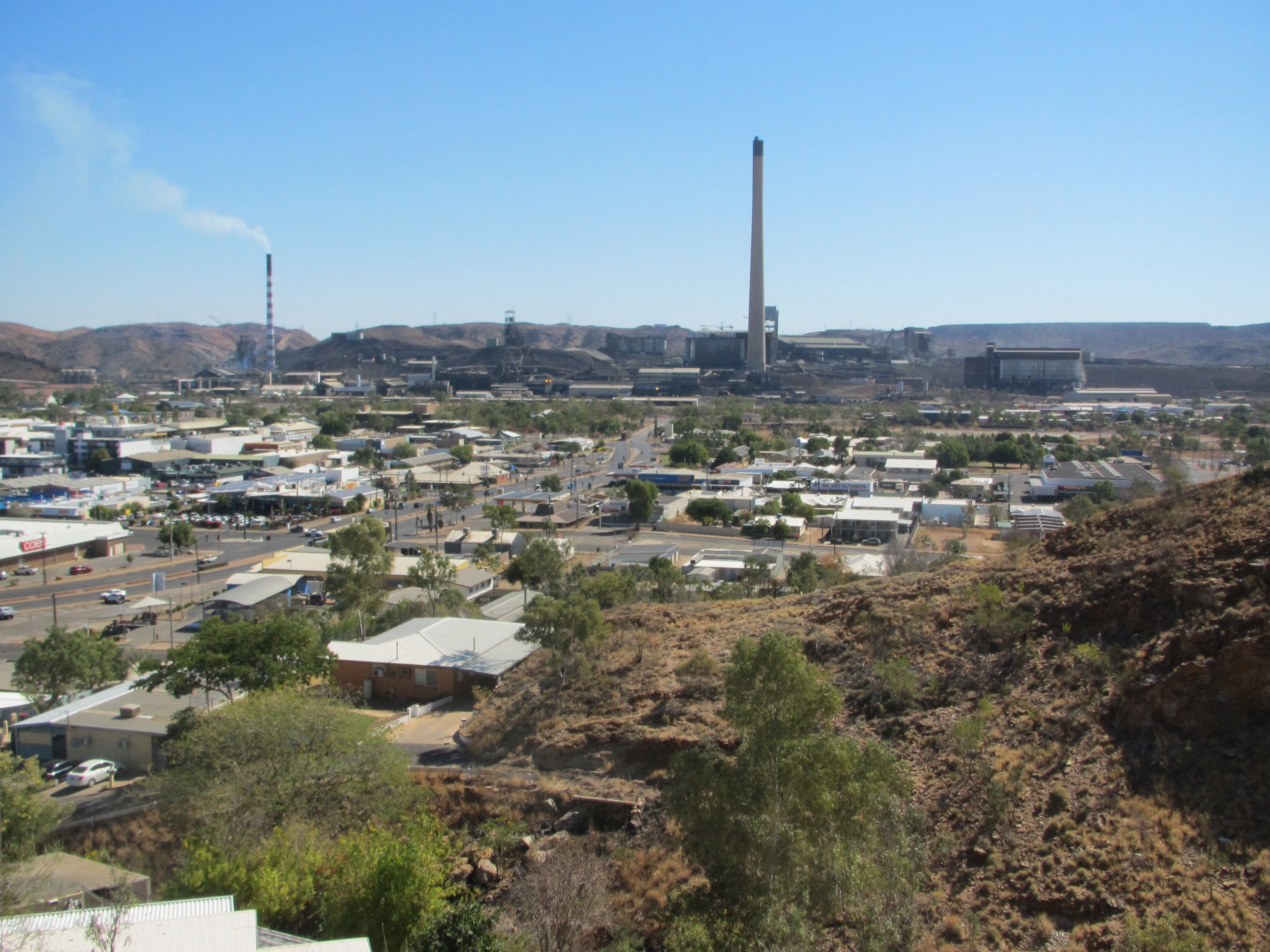
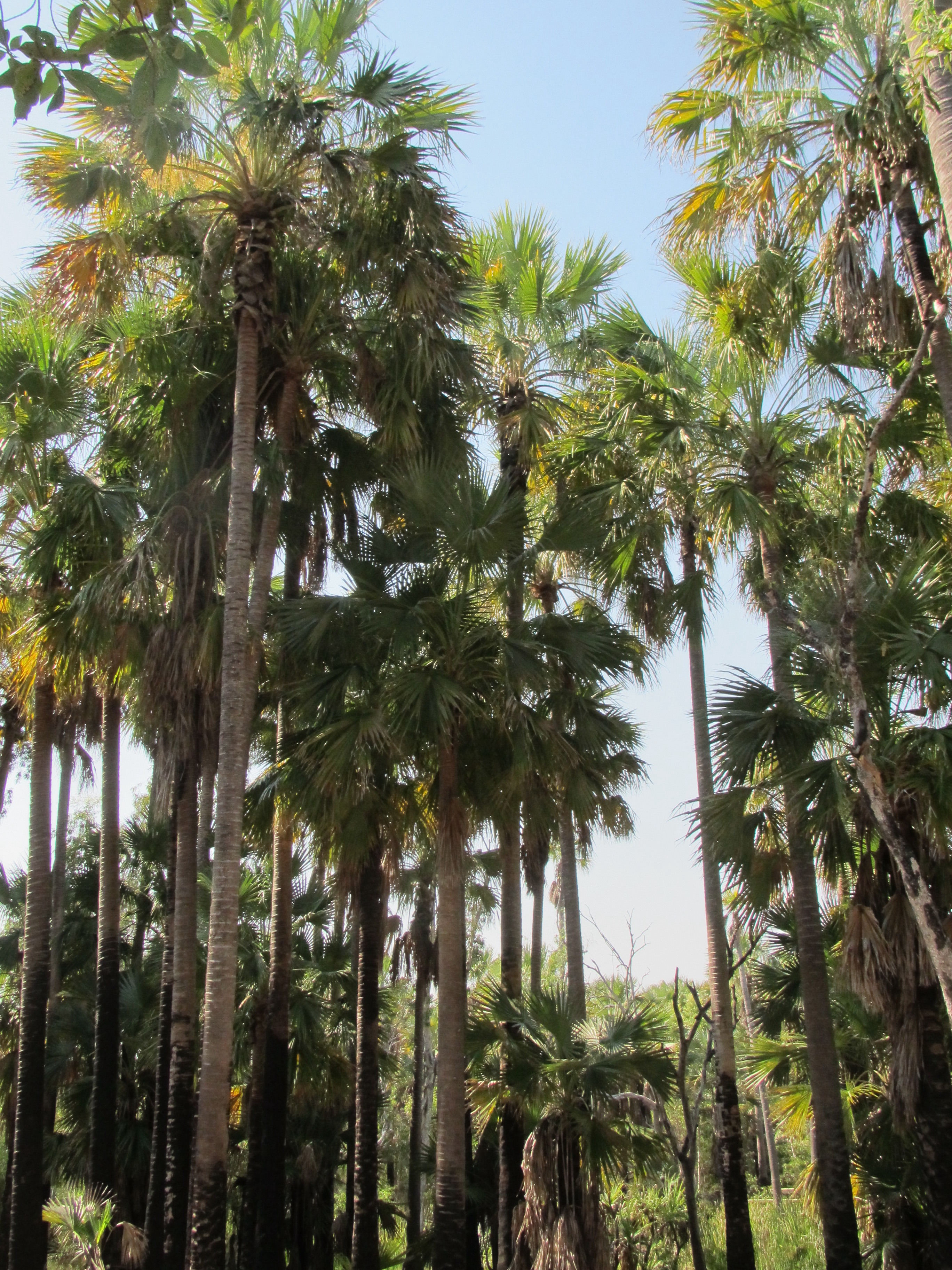
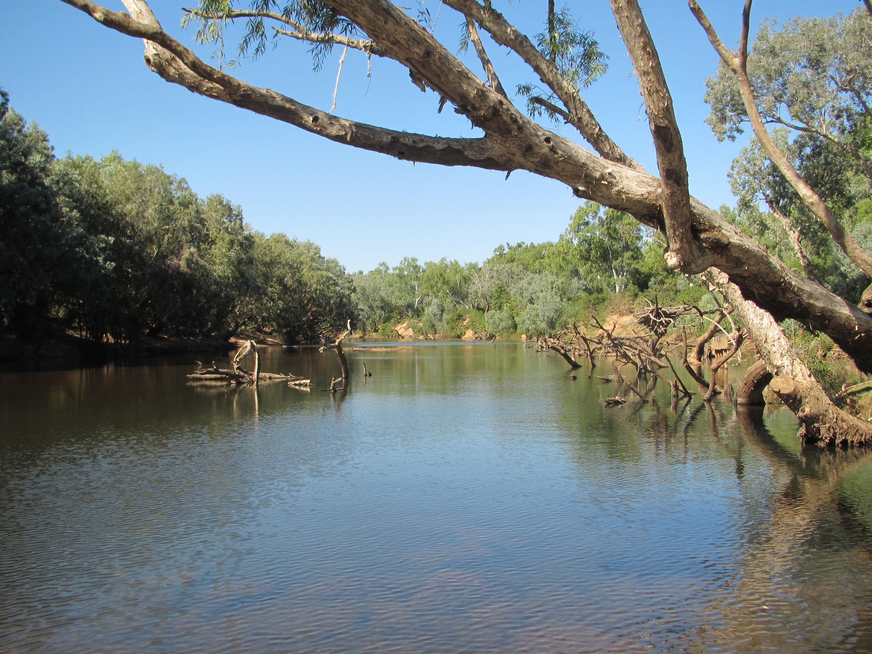
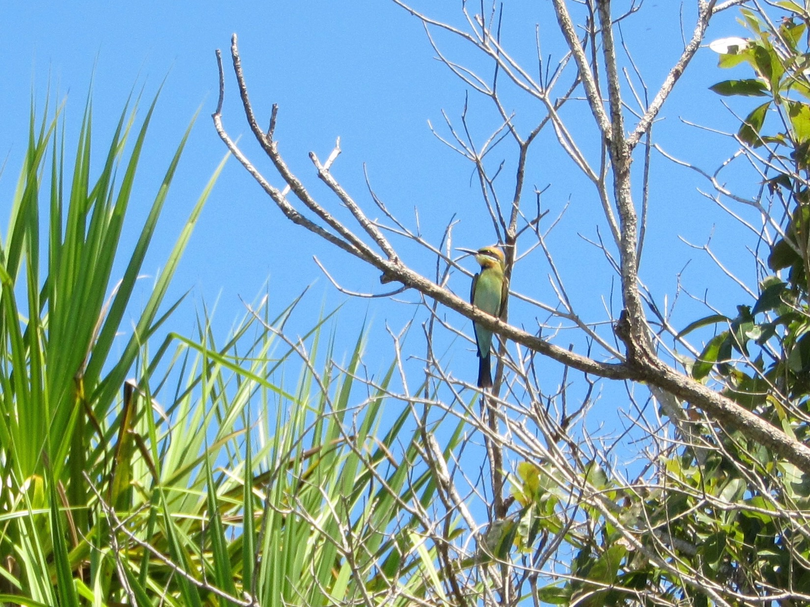
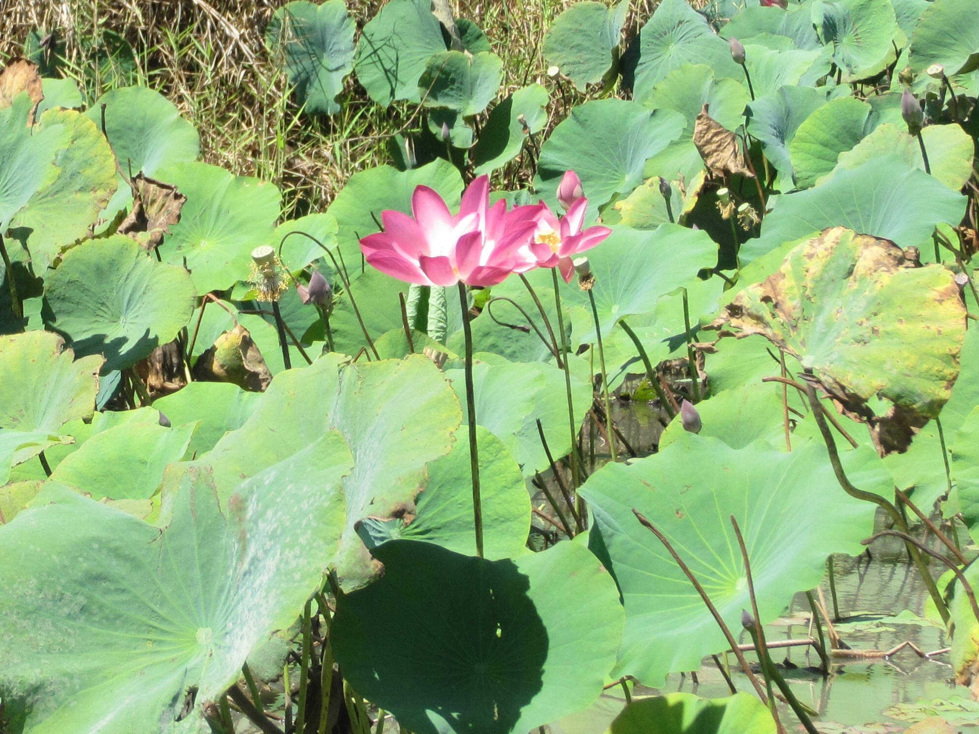
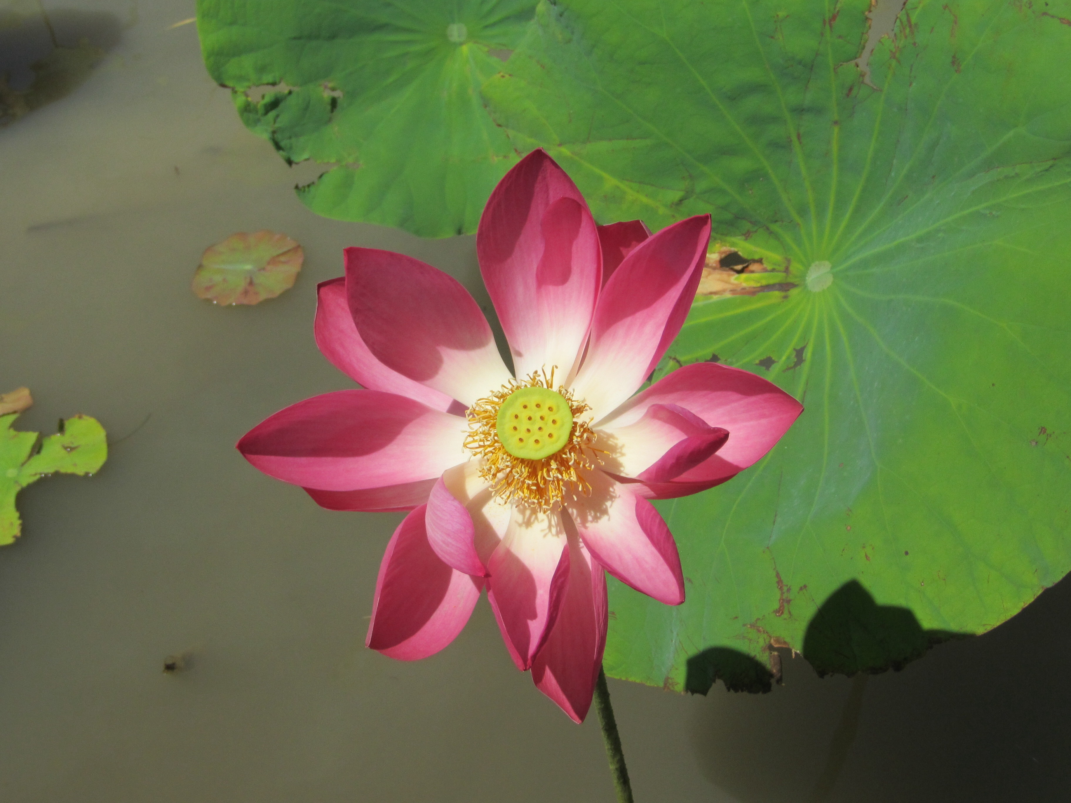
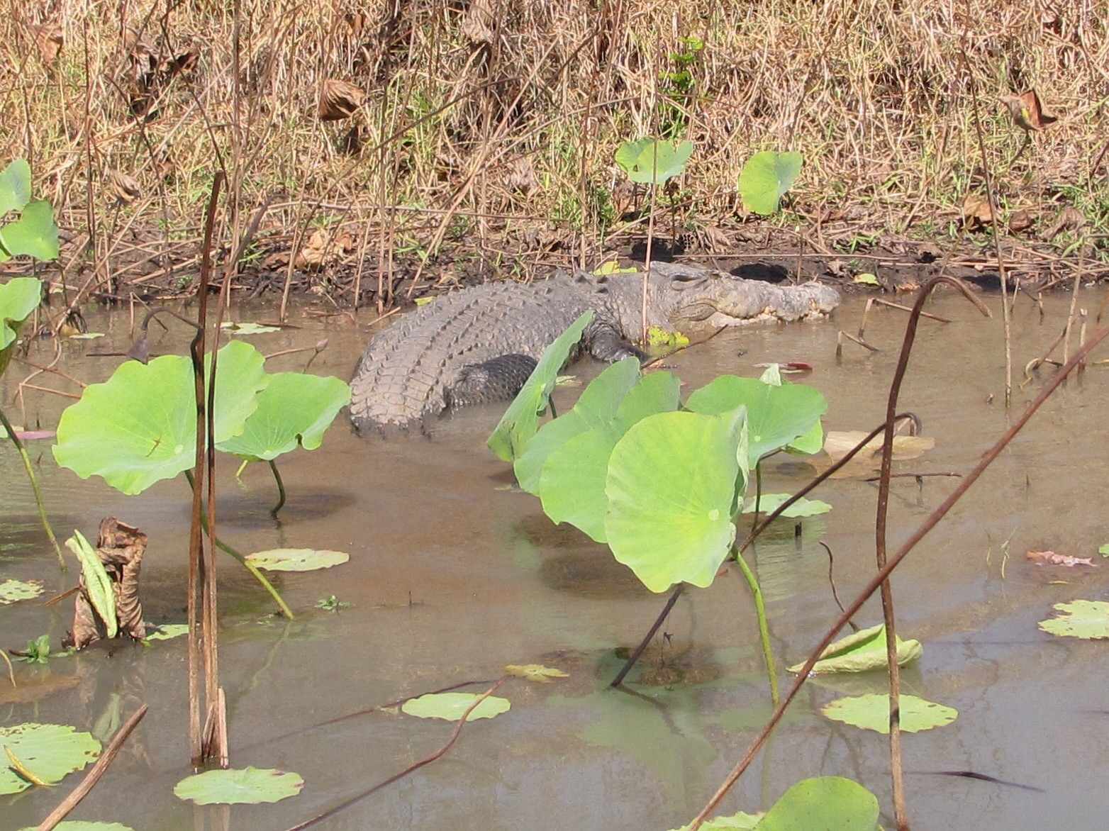
Being disposed to the occasional rendition of Banjo Paterson’s poems it interesting to spend time in Cloncurry and travel the Matilda Highway thru McKinlay and Kynuna townships to Winton in the central west of Queensland.
Paterson travelled with his fiancée to visit friends on Dagworth station near Kynuna, where he met Christina McPherson who collaborated with Banjo, writing the score for Paterson’s words of Waltzing Matilda.

It is thought to have been first performed publicly at the North Gregory Hotel in Winton, on 6 April 1895, apparently at a banquet for the Premier of Queensland.

Paterson’s verse Clancy of the Overflow is supposedly based upon a fellow he knew in Cloncurry Thomas MacNamara who died there in 1942 and it was reported that his wife Teresa MacNamara passed away in the same town in 1948. The words can be found here
https://ebooks.adelaide.edu.au/p/paterson/ab/man_from_snowy_river/chapter4.html
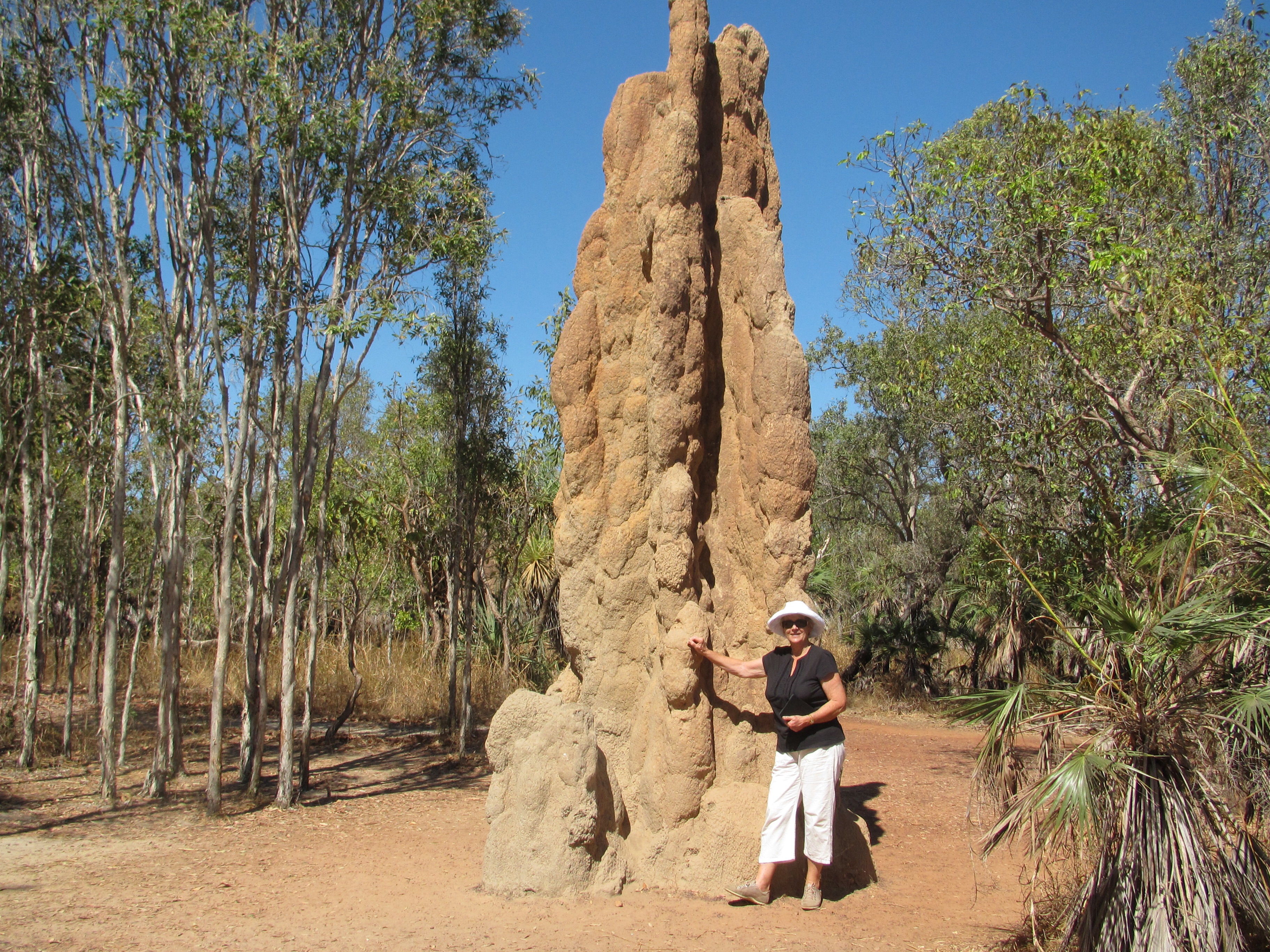
So the Australian bard had close links with this region, as he had with much of this country’s outback. The Blue Heeler hotel at Kynuna is still there today and claims Paterson heritage. But it is a pub that lacks pizzazz, with as much literary leaning as a termite mound.

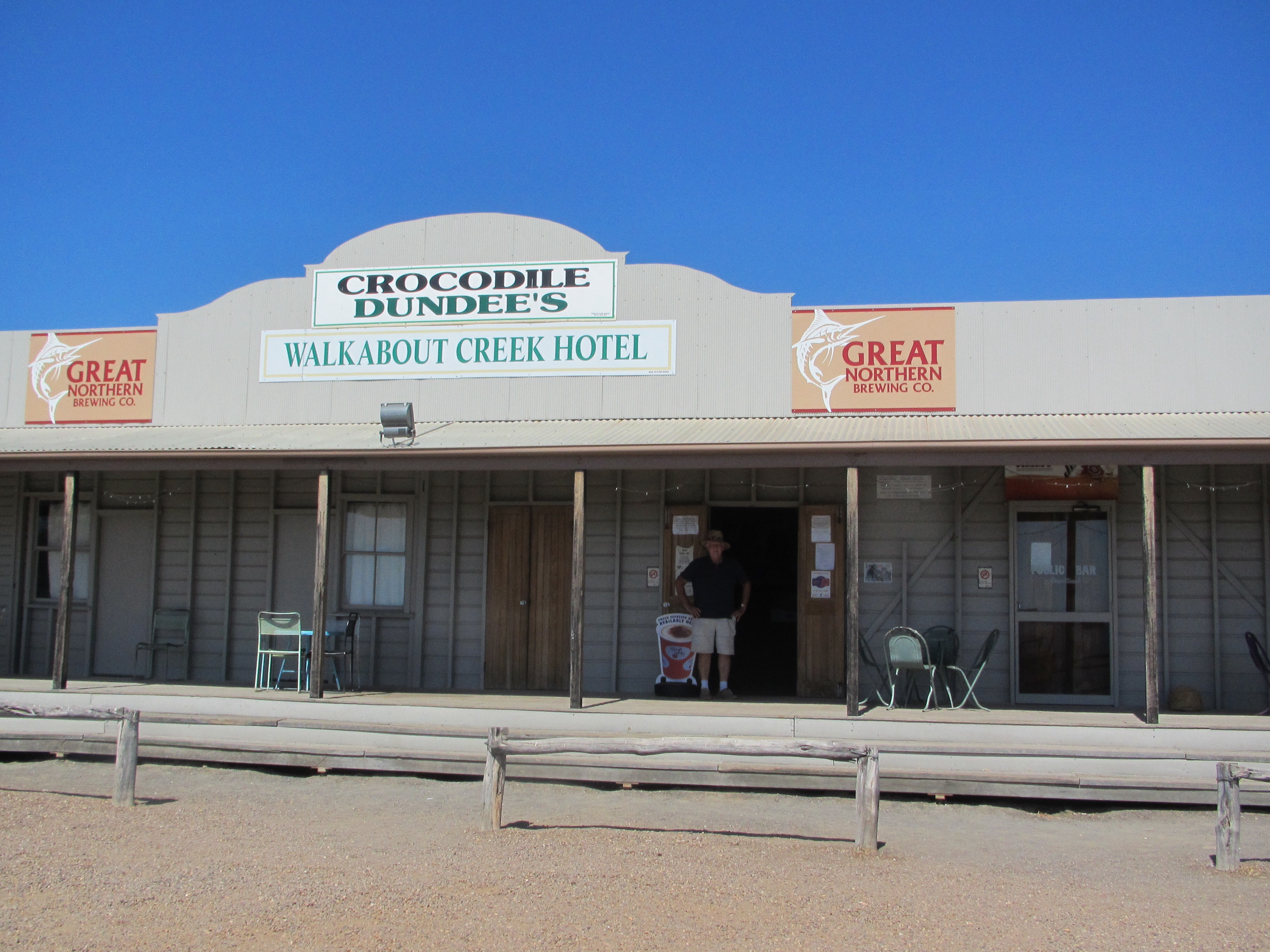
But not so the Walkabout Creek Hotel in McKinlay where Hoges shot much of the Crocodile Dundee movie. The pub is full of memorabilia, the Outback Safari Tours truck John Mellion drove, even down to the prop for “that’s not a knife–this is a knife”

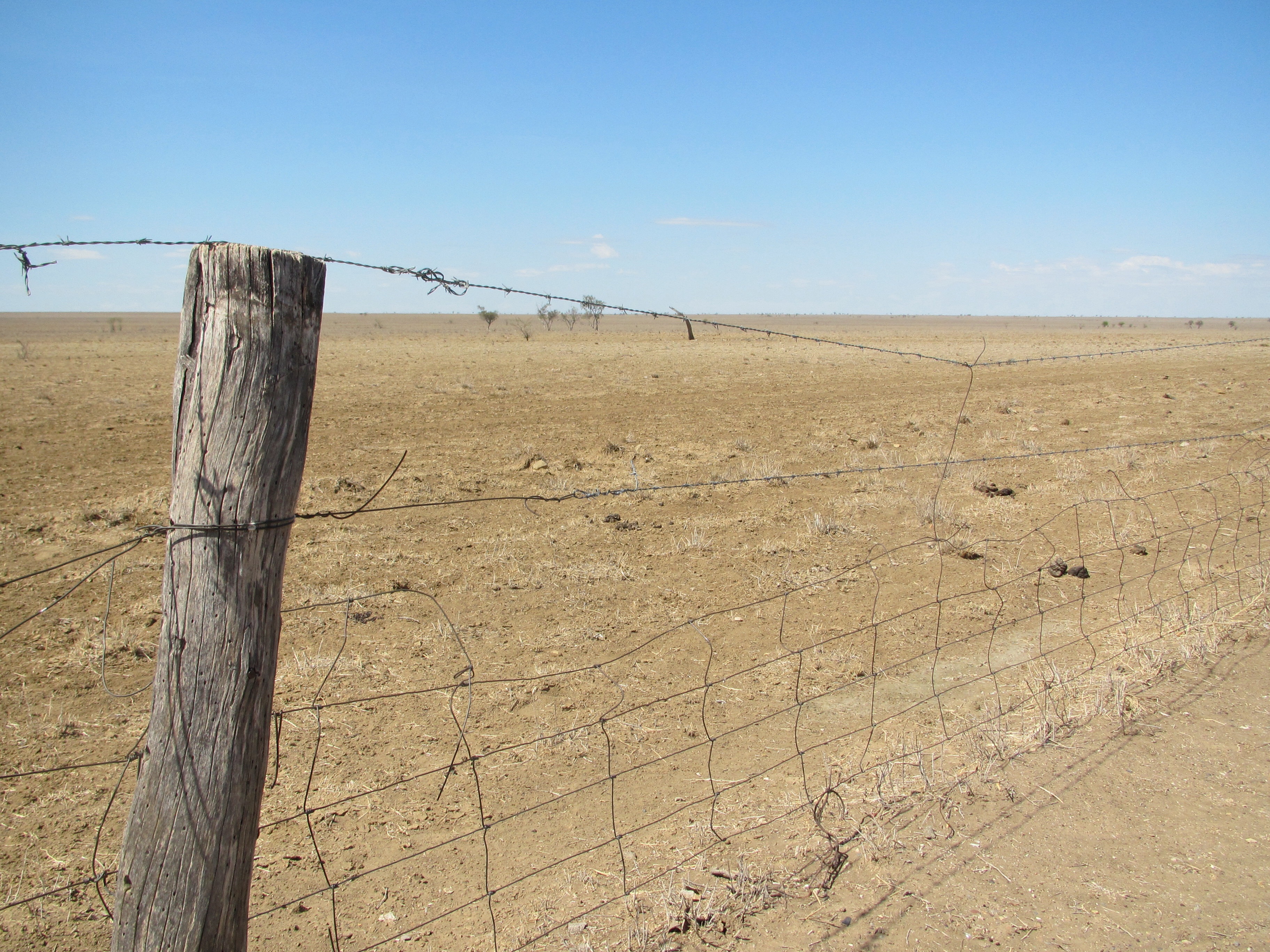
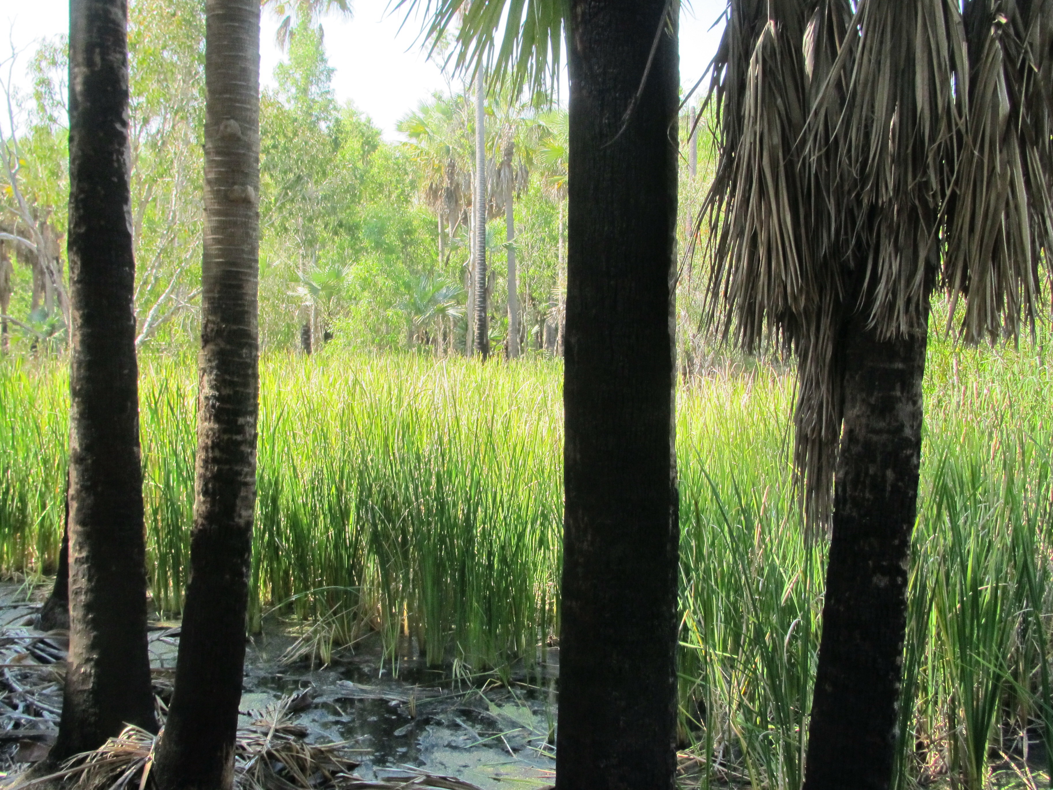
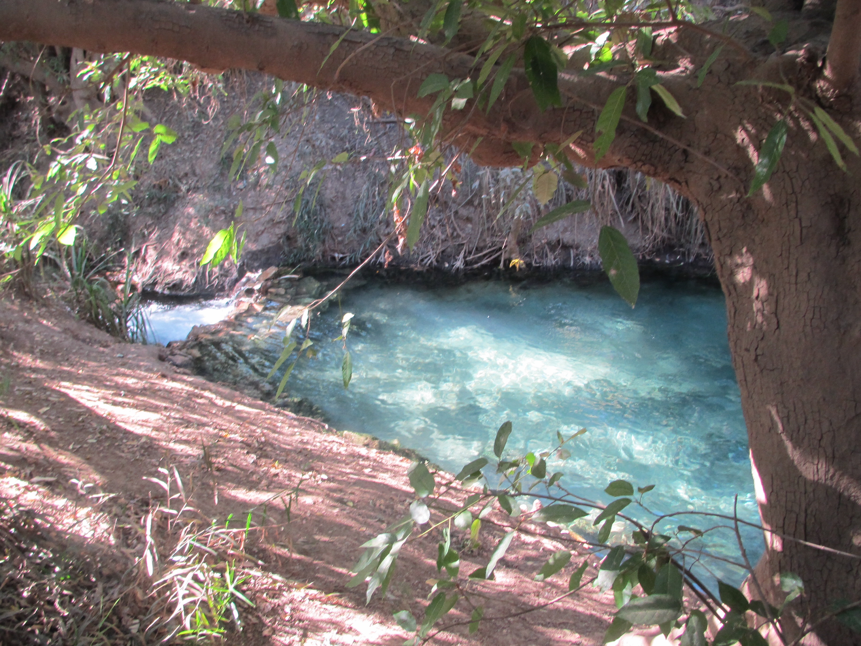
So heaps of fun stuff to pursue in the last few days but as we neared Winton the trial of no rain for three or 4 years is plainly evident. We hear that the farmers are doing it tough, but as I sit here writing this post, thunder clouds are casting a pall of darkness over the town. Perhaps we may just have brought some rain with us!

And tonight we plan on dinner at the North Gregory Hotel in the Main Street. I might even sing Waltzing Matilda to the strains of rain on the tin roof.

Banjo's original words. I gather there is a fair degree of mythology associated with the bard.
Banjo’s original words. I gather there is a fair degree of mythology associated with the bard.

image

That's a Knife!
That’s a Knife!
Winton's hungry dirt
Winton’s hungry dirt
The Ayrshire Hills: Tell 'em their dreanin'
The Ayrshire Hills: Tell ’em their dreamin’

Mt Isa and water.

Travelling from Lake Argyle across the top end of Australia you cross hundreds of creeks and rivers with the ever attendant ‘road subject to flooding’ signage.
In the dry the land looks quite parched. The Barkly tableland probably an unchanged landscape thousands of years old.
And then you arrive at Mt Isa and behold a town that is dwarfed by the mining activity which delivers riches in lead, zinc, copper and silver. Thirty years after MIM began operations it needed water to grow the business and so in 1958 they dammed the Leichhardt River. A privately funded project costing $2.4mil giving 2600 hectares of water surface on the lake at a depth of up to 11 metres; oodles of water for mining and residential consumption well into the future and providing for all the aquatic recreational pursuits you can only dream of.
Tennant Creek also has a similar, but somewhat smaller dam/recreational waterways; put simply— dams—-that is a guaranteed lifeline to people in this arid country.
But the top end of this country is far from a dry as dust waterless country. Fitzroy crossing flood records water flows of 30,000 cubic metres of water every second flowing out into the sea. In this tableland country of north west Queensland alone, flooding rivers criss cross the plains and join together to fill Lake Eyre.
Australia has plenty of water. We just need to get on with saving some.

Mt Isa mine site which dominates the township.
 Lake Moondarra took shape after the river was dammed in 1958
Lake Moondarra took shape after the river was dammed in 1958
Sign at town lookout might indicate Mt Isa considers itself the centre of the earth.
Entrance to 1940's underground wartime hospital. The mine suspended all but lead mining which was used to make bullets. Authorities thought the mine found be a target of the enemy.
Entrance to 1940’s underground wartime hospital. The mine suspended all but lead mining which was used to make bullets. Authorities thought the mine might be a target of the enemy. Hence the need for a safe hospital location, down under.
Underground wards were actually never used: simply closed up and forgotten for 50 years, re-opening to tourist in the mid 90's
Underground wards were actually never used: simply closed up and forgotten for 50 years, re-opening to tourists in the mid 90’s

Tennant Creek and the Barkly Tablelands

They say the population of Tennant Creek was 3,100 at the 2001 census and similar in the 2011 poll. Sounds curiously like Albany: whenever a child was born a bloke would always leave town!

Actually, Tennant Creek is an indicator of just how populous the Northern Territory actually is, for this community on the north-south Stuart Highway is the territory’s fifth largest township.
Having travelled over 500 km from Mataranka down the highway, we felt we had earned a couple of nights in Tennant Creek. Where there is the well preserved Overland Telegraph Station, a man-made recreational lake, old gold mine workings and a high point lookout.
And strangely, this township didn’t even get a start in life until after the discovery of gold in the early 1930’s. This country’s last great gold rush it is claimed.
Refreshed we hit the road again this morning, (Friday) heading for the Barkly Highway which crosses east-west from Cloncurry in Queensland to the 3ways junction near Tennant Creek.
An easy 220 km drive on this super smooth highway, in country that is akin to a Savannah grassland, to the Barkly Homestead where we filled both tank and tummy and taking the afternoon off to post a little on the blog and picking up the now mostly dis- used needle and thread.

The cellar (right) hides the smoke house behind and all stand out front of the Overland Telegraph station

image

Lake Mary Ann, fills in the wet season and provides year round recreation for the town
Guardians of the lake and attendees at every picnic table,
The drive down to Tennant Creek is quite flat until the townsite is surrounded by a pleasant outcrop of hills.

Mataranka: NT’s outback Oasis’

What a funny little town Mataranka is!
Adorned with life-size clay sculptured early pioneers, strangely posed throughout the neighbourhood and I guess the community’s endeavour to associate itself with the folklore novel We of the Never Never.
A broken-down pub, a service station famed for its meat pies, art gallery and coffee shop with newly minted signage which is now closed and currently for sale. The supermarket has fresh bread each day but one must wait for the arrival of ‘the truck’ —-mostly in the late afternoon!
But!
In the land of the never never lie hidden aquatic jewels in a setting of lush palm, bullrushes and paper bark trees. And today I learned these freshest of warm water pools come from the Barkly Tablelands 500 km away, which in turn comes from the Gregory River in Queensland. Flowing all the way through an underground limestone aquifer, geologically covered by non porous Basalt rock. Fractures in the earth’s crust allow the limestone to surface and bestow Mataranka with the most dazzlingly beautiful crystal pools.

These Livistonia Regidia Palms together with paper barks stand as sentinels guarding the warm springs.
Bitter Springs 2 km east of the township, is another crystal jewel
Rainbow Pool about 7 km south of Mataranka
In our south west we have blue fairy wrens, while the NT has Red-Backee Fairy Wrens.
In our south west we have blue fairy wrens, while the NT has Red-Backed Fairy Wrens.
The bullrushes look like a brand new fresh crop
And look how a professional photographer shoots a young French couple at Bitter Springs

Feathered Friends.

Every day we are awakened by a surprising cacophony of birds chirping. So beautiful in their tuneful chorus’ and uniquely colourful. Photographing them all as you see them is not very easy, so courtesy of Google here is a selection of wonderful birds we exchange with.

Hooded Parrots
Hooded Parrots
Pied Cormorant
Pied Cormorant
Grey Heron
Grey Heron
Lorikeets that put deposits on the car mainly
Magpie Geese
Magpie Geese
Jabiru
Jabiru
Comb Crested Jacana which we saw waltzing on the lily pads.
White-fronted Sea Eagle we saw at Corroboree Billabong
What a poser! Kookaburra at Katherine Gorge.

Katherine: Cattle country

On our last day in Katherine I bought a map of Australia. Although we have plenty of maps across many pages of an atlas, all very detailed, but nothing to highlight what a big country Australia is.
At the time of writing this post we are actually in Mataranka 110km south of Katherine which itself is 310 km south of Darwin. Looking at the Aussie map we have a long way to go to Tennant Creek before we venture east along the Barkly highway toward Mt Isa. (The Barkly is actually north of Tennant, but we’ve come this far why not see what the Creek is like).
Last Thursday we departed Darwin for 4 nights in Katherine with its gorges, hot springs, river and Katherine Country Club. The museum was closed and Springvale Homestead has been closed for 2 years; but the Katherine river was flowing over at Knott’s crossing and Edith Falls was flowing into a giant popular swimming hole with its beautiful shady picnic areas on the banks.
At the hot springs I got talking to Christine, an Aboriginal woman who told me of the dream time rainbow serpent that burrowed into the ground and re-appeared at the Rainbow Springs at Mataranka. Mythology with a touch of magic, for the 2 are linked by a limestone underground watercourse stretching over 100km.
Arthur Giles first settled in this area (1878) at Springvale, commencing the cattle trade so evident in this region with the enormous volume of cattle road trains that rattle past the enormous volume of nomad caravans in the top end. It should also be noted that the cattlemen have not erected any monuments to a certain female PM who introduced taurus interruptis.

Katherine River
Katherine River
Part of the hot springs in Katherine.
Edith Falls
Edith Falls
A stunning local variety of bottlebrush.
Friendly little critter poses for tourist photos

What is the name of the swagman down by the billabong in Waltzing Matilda?

Yesterday we took a day tour to the Mary River wetlands and a gentle boat trip out on the Corroboree Billabong to see the bird life and hunt down real crocs. So splendid being picked up from our caravan park at the very reasonable hour of 10.15am, chauffeured to the billabong via Humpty Doo pub, catch the wildlife out on the lake and all with lunch included.

Four nights we had in Darwin.
Pursued all the normal touristy things; the waterfront and cafes; the museum and art gallery and more cafes; Fishermans’ wharf and cafes; Mitchell St eateries; Casurina shopping centre and a gem called the Casurina Club.

Today (Thursday) we travelled down the Stuart Highway to Katherine once again, for out last visit was only fleeting and this time we plan to see the Katherine Gorge etc.

Then it is off toward Mt Isa and the inland Queensland route southward.

Rainbow Bee Eater, a beautifully coloured little bird in flight. I may try and Google a better picture.
Water lilies abound everywhere. We even spotted a couple of those fragile little wader birds flitting across the pads.
Crocs have a good life just lazing around. No wonder they live to a great age. We must have seen about 30 of them.

imageimage

Rainbow Bee Eater
Rainbow Bee Eater

And the the name of the swagman down by the billabong?

Once a jolly swagman camped by a billabong
Under the shade of a coolibah tree
Andy sang as he watched and waited ’til his billy boiled
Who’ll come a-waltzing, Matilda, with me?
Waltzing Matilda, Waltzing Matilda
Who’ll come a-waltzing, Matilda, with me
Andy sang as he watched and waited ’til his billy boiled

Who’ll come a-waltzing, Matilda, with me?

Sunday in Darwin: it must be Mindil Beach

Hooray!

We’ve at last ventured into another capital city after leaving Perth 10 weeks ago and eager to leave the white sox coated in red dust well behind us. (If only for a while)
A quick 90km north from Batchelor this morning we swung into the Hidden Valley caravan park in Darwin. Did my usual novice nomad intro at the reception and we are now proudly ensconced in a shady location keen to spend time doing things city folk do.
Like, trapsing around the very big Casurina Shopping Centre, opting for lunch at the alternative Casurina Club and mixing it with everyone at Mindil Beach for the markets at sunset.
You have to be a former market manager to command the attention of young pup security officials and get parked up close to the action——10 metres from the start of the stalls.
Mindil Beach is the culmination of all those accents and languages you have heard while travelling the north. A genuine melting pot of interracial sounds and sights; holidaying young families, backpackers, retirees and everybody in between.

Markets are all the same the world over--- but at Mindil Beach  there is a melding of  world languages to be heard everywhere.
Markets are all the same the world over— but at Mindil Beach there is a melding of world languages to be heard everywhere.

imageimage

The same sunset reflected in the car window.

Wedding Anniversary followed by Batchelor Days

A couple of days ago we celebrated our 48th anniversary with a dinner at the Savannah Restaurant at Knotts Crossing Resort in Katherine. Quite swish, getting out of the shorts for once and into a long sleeved shirt and jeans. Very formal eh?
And yesterday we arrived in Batchelor ( about 100 km from Darwin) to catch up with our friends Bill and Maxine Blower. We only had one night in each of Lake Argyle, Victoria River and Katherine, knowing that we would be returning to Katherine after Darwin and Kakadu before heading toward Mt Isa and the inland road south thru Longreach and Winton. Many folk tell us it is quite depressing for they haven’t had rain in a few years, but the convoys of grey nomads are still passing and helping local economy. We hope to be in Toowoomba in time for the flower festival September 19 and catching up with Dorothy O’Connor.
But today (Friday) we spent the day in the Litchfield National Park, which is more my scene with sealed roads and natty little concrete pathways to the falls from the carparks.
It being so nice here we plan another night in Batchelor before heading for Darwin on Sunday.

Isabel and Maxine at Florence Falls
After driving past about a million termite mounds, we were actually driving to see more! Maxine Blower said folk would ask specifically if you have seen the termite mounds in Lictchfield NP? Of course I have and here' s Maxine
After driving past about a million termite mounds, we were actually driving to see more! Maxine Blower said folk would ask specifically if you have seen the termite mounds in Lictchfield NP? Of course I have and here’ s Maxine hugging a good specimen.
Florence Falls
Florence Falls
Wangi  Falls
Wangi Falls
Buley Rockhole
Buley Rockhole
The cool swimming holes at Buley Rockhole
Getting ready for a BBQ last night,

Argyle: a dam brilliant lake

It does my heart proud to see Lake Argyle and marvel at the collective feat of pioneers, engineers, hydrologists, and labourers with their families and politicians who pulled off this huge bit of water magic. In Australia this is perhaps the last major life giving miracle of nature we have witnessed in over forty years. With a grand vision, our Aussie nation took on the role of nature’s hand-maiden to create, ever-so-simply, a long term fresh water source of breath taking proportions.
The political struggles to achieve the dream are legendary.
So too are the cropping failures over the decades.
From memory it was Charlie Court, then development minister sparring with P.M. Robert ( pig-iron Bob) Menzies for federal funding. And these days Colin Barnett has announced that the dam wall will be heightened by four metres to provide an additional 100,000 hectares of agricultural land.
After reading and hearing so much about the Ord project over the decades, it is awesome to finally take a look at it.
Over 1,000 square kilometres of fresh water and the comparisons beggar belief ( if you can indeed believe them!). Like 16 times bigger than Sydney Harbour or 5 times bigger than Port Phillip Bay.
Hooey to comparisons. This is a very bloody big body of water.
The adding of 4 metres more of dam wall beginning next year, will make Lake Argyle 2,000 square kilometres in size, effectively doubling its capacity.
And the crops of the past that failed? Sufficient to say the vision still remains firmly rooted in those who would invest in the future marriage of water and fertile soils to finally succeed.

But today it was our turn to sail upon this beautiful waterway.

How stunning to at last actually have contact with the results. Travelling with like-minded boomer nomads, who all agree with, support and marvel at the enormity of the vision that brought all this to reality.

We had a tumultuous day on Lake Argyle yesterday and we head for Timber Creek en-route to Katherine in the NT. today, just over the border with NT our clocks advance one and a half hours to central time.

No Telstra* in this part of the world from Argyle to Victoria Creek where we are tonight being beyond Timber Creek and just 200km drive Wednesday to reach Katherine. * just purchased WiFi called Roamin’

A dam wall of stone with clay centre which is only 345 metres wide. Quite brilliant engineering built in just 3 dry seasons.
On board the Kimberley Durack, named after the pioneering agricultural Durack of the family.
This pic shows about one percent of the lakes surface of 1,000 square km.

image

A jolly time in the water with the drinks floating on a lifebuoy.
Sunset on Lake Argyle